2007
NG6151 : Shepherd's bothy, Raasay
taken 17 years ago, 4 km NNE of Arnish, Isle of Raasay, Scotland
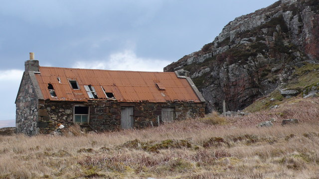
Shepherd's bothy, Raasay
 Map © Crown Copyright")
TIP: Click the map for more Large scale mapping
- Grid Square
- NG6151, 19 images (more nearby 🔍)
- Photographer
- Calum McRoberts (more nearby)
- Date Taken
- Sunday, 8 April, 2007 (more nearby)
- Submitted
- Saturday, 8 March, 2008
- Subject Location
-
OSGB36:
 NG 611 518 [100m precision]
WGS84: 57:29.6290N 5:59.2288W - Camera Location
-
OSGB36: NG 611 518
- View Direction
- Northeast (about 45 degrees)