2008
TQ4500 : East Pier
taken 16 years ago, near to Rookery Hill, East Sussex, England
This is 1 of 2 images, with title East Pier in this square
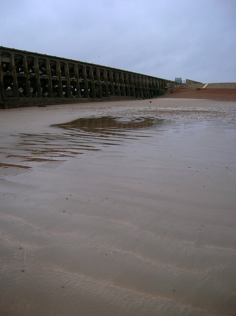
East Pier
Taken at a low spring tide and looking back towards the pier's connection with the shingle bank and dry land. The first pier was constructed in 1862 and rebuilt after the First World War.
 Map © Crown Copyright")
TIP: Click the map for more Large scale mapping
- Grid Square
- TQ4500, 256 images (more nearby 🔍)
- Photographer
- Simon Carey (more nearby)
- Date Taken
- Saturday, 8 March, 2008 (more nearby)
- Submitted
- Saturday, 8 March, 2008
- Subject Location
-
OSGB36:
 TQ 451 001 [100m precision]
WGS84: 50:46.9383N 0:3.4901E - Camera Location
-
OSGB36: TQ 452 000
- View Direction
- West-northwest (about 292 degrees)