2008
SD8838 : Southfield Lane
taken 16 years ago, near to Colne, Lancashire, England
This is 1 of 4 images, with title Southfield Lane in this square
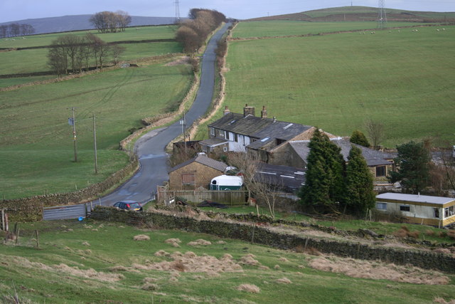
Southfield Lane
Looking from Castercliff Fort towards Gib Clough Head Farm and Black Lane
 Map © Crown Copyright")
TIP: Click the map for more Large scale mapping
- Grid Square
- SD8838, 17 images (more nearby 🔍)
- Photographer
- Kevin Rushton (more nearby)
- Date Taken
- Sunday, 2 March, 2008 (more nearby)
- Submitted
- Sunday, 9 March, 2008
- Subject Location
-
OSGB36:
 SD 885 382 [100m precision]
WGS84: 53:50.4384N 2:10.4930W - Camera Location
-
OSGB36: SD 885 383
- View Direction
- Southeast (about 135 degrees)