2008
TQ9071 : Site of Community project
taken 16 years ago, near to Queenborough, Kent, England
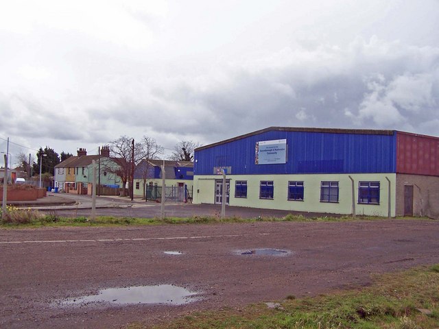
Site of Community project
The sign on the front of this disused building says "Site acquired for the Queenborough and Rushenden Community". There is no indication as to what will actually be provided here.
 Map © Crown Copyright")
TIP: Click the map for more Large scale mapping
- Grid Square
- TQ9071, 61 images (more nearby 🔍)
- Photographer
- Richard Dorrell (more nearby)
- Date Taken
- Sunday, 9 March, 2008 (more nearby)
- Submitted
- Sunday, 9 March, 2008
- Subject Location
-
OSGB36:
 TQ 909 715 [100m precision]
WGS84: 51:24.6542N 0:44.6609E - Camera Location
-
OSGB36: TQ 909 716
- View Direction
- South-southwest (about 202 degrees)