2008
SZ1195 : Throop: weir
taken 16 years ago, near to Throop, Bournemouth, Christchurch & Poole, England
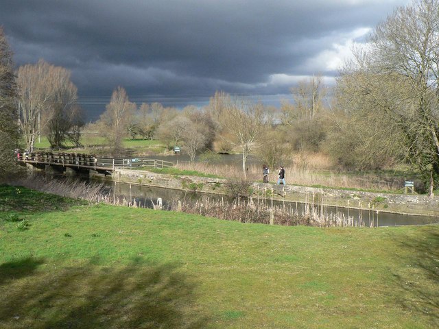
Throop: weir
The weir is alongside the SZ1195 : Throop: flour mill, and catches the last of the sun before a heavy hailstorm.
 Map © Crown Copyright")
TIP: Click the map for more Large scale mapping
- Grid Square
- SZ1195, 126 images (more nearby 🔍)
- Photographer
- Chris Downer (more nearby)
- Date Taken
- Sunday, 9 March, 2008 (more nearby)
- Submitted
- Sunday, 9 March, 2008
- Subject Location
-
OSGB36:
 SZ 112 958 [100m precision]
WGS84: 50:45.7119N 1:50.5201W - Camera Location
-
OSGB36: SZ 112 957
- View Direction
- NORTH (about 0 degrees)