2008
NY6594 : Grey's Pike
taken 16 years ago, 3 km from Kielder, Northumberland, England
Grey's Pike
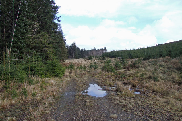
End of the track, looking towards Fuller Sike beneath Grey's Pike in Kielder Forest.
 Map © Crown Copyright")
TIP: Click the map for more Large scale mapping
- Grid Square
- NY6594, 2 images (more nearby 🔍)
- Photographer
- Peter McDermott (more nearby)
- Date Taken
- Sunday, 9 March, 2008 (more nearby)
- Submitted
- Sunday, 9 March, 2008
- Subject Location
-
OSGB36:
 NY 655 947 [100m precision]
WGS84: 55:14.7546N 2:32.5660W - Camera Location
-
OSGB36: NY 654 946
- View Direction
- East-northeast (about 67 degrees)