2008
NS2989 : Allt Bhaile a' Mhuillin
taken 16 years ago, near to Auchenvennel, Argyll And Bute, Scotland
This is 1 of 2 images, with title Allt Bhaile a' Mhuillin in this square
Allt Bhaile a' Mhuillin
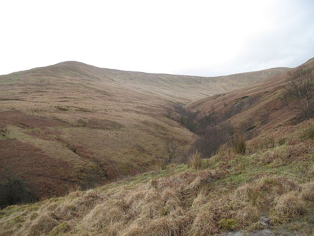
Glen on the south side of the Beinn Chaorach group. Auchengaich Hill on the left rising to Beinn Tharsuinn.
 Map © Crown Copyright")
TIP: Click the map for more Large scale mapping
- Grid Square
- NS2989, 4 images (more nearby 🔍)
- Photographer
- Richard Webb (more nearby)
- Date Taken
- Saturday, 8 March, 2008 (more nearby)
- Submitted
- Tuesday, 11 March, 2008
- Subject Location
-
OSGB36:
 NS 294 895 [100m precision]
WGS84: 56:4.1029N 4:44.4597W - Camera Location
-
OSGB36: NS 298 891
- View Direction
- Northwest (about 315 degrees)