2005
SW4034 : Carne Farm
taken 18 years ago, near to Morvah, Cornwall, England
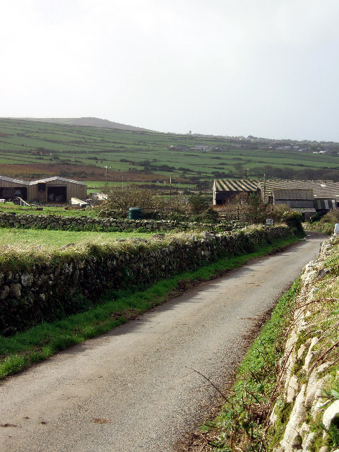
Carne Farm
Pendeen Church tower and Raw Carn (on maps called Carn Eanes) on the horizon.
 Map © Crown Copyright")
TIP: Click the map for more Large scale mapping
- Grid Square
- SW4034, 8 images (more nearby 🔍)
- Photographer
- Sheila Russell (more nearby)
- Date Taken
- Sunday, 30 October, 2005 (more nearby)
- Submitted
- Sunday, 30 October, 2005
- Subject Location
-
OSGB36:
 SW 406 348 [100m precision]
WGS84: 50:9.3819N 5:37.9788W - Camera Location
-
OSGB36: SW 408 349
- View Direction
- West-southwest (about 247 degrees)