2008
NZ7005 : Danby Rigg
taken 16 years ago, near to Botton, North Yorkshire, England
This is 1 of 2 images, with title Danby Rigg in this square
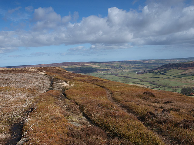
Danby Rigg
This path along the edge of the rigg gives good views over Little Fryup Dale
 Map © Crown Copyright")
TIP: Click the map for more Large scale mapping
- Grid Square
- NZ7005, 24 images (more nearby 🔍)
- Photographer
- Stephen McCulloch (more nearby)
- Date Taken
- Friday, 14 March, 2008 (more nearby)
- Submitted
- Saturday, 15 March, 2008
- Subject Location
-
OSGB36:
 NZ 707 057 [100m precision]
WGS84: 54:26.5399N 0:54.6351W - Camera Location
-
OSGB36: NZ 707 057
- View Direction
- North-northeast (about 22 degrees)