2008
SK5240 : A walk through Harrison's Plantation (3)
taken 16 years ago, near to Bilborough, Nottingham, England
This is 1 of 3 images, with title starting with A walk through Harrison's Plantation in this square
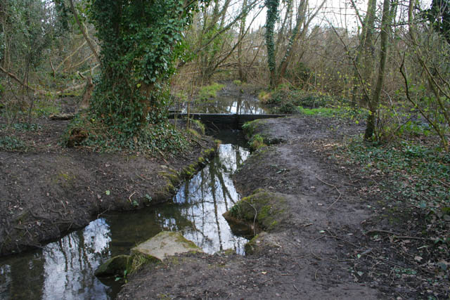
A walk through Harrison's Plantation (3)
The stream from the outflow of Martin's Pond meanders through the trees providing a damp environment for frogs and toads. Thought to be the site of medieval stew ponds linking Martin's Pond and Raleigh Pond the Nature Reserve is managed by the Nottinghamshire Wildlife Trust for the owners, Nottingham City Council. See Link
Previous image SK5240 : A walk through Harrison's Plantation (2), next image SK5340 : A walk through Harrison's Plantation (4)
Previous image SK5240 : A walk through Harrison's Plantation (2), next image SK5340 : A walk through Harrison's Plantation (4)
 Map © Crown Copyright")
TIP: Click the map for more Large scale mapping
- Grid Square
- SK5240, 95 images (more nearby 🔍)
- Photographer
- Kate Jewell (more nearby)
- Date Taken
- Tuesday, 11 March, 2008 (more nearby)
- Submitted
- Monday, 17 March, 2008
- Subject Location
-
OSGB36:
 SK 528 401 [100m precision]
WGS84: 52:57.3841N 1:12.9116W - Camera Location
-
OSGB36: SK 528 402
- View Direction
- South-southwest (about 202 degrees)