2008
NT6452 : Track to Cralaw
taken 16 years ago, 3 km from Westruther, Scottish Borders, Scotland
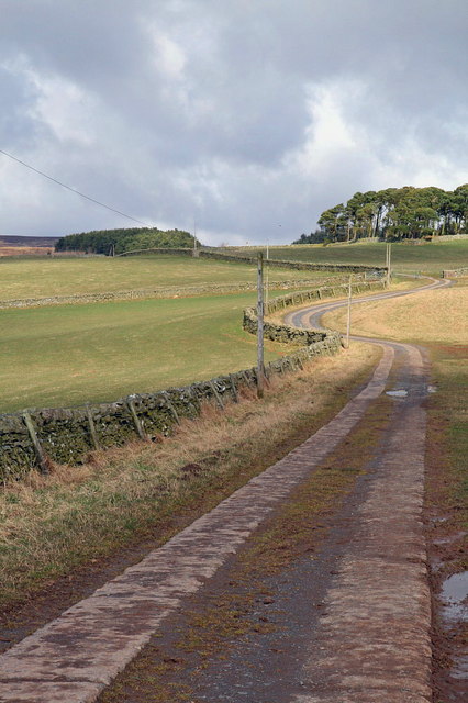
Track to Cralaw
A good farm track allows access to Cralaw, north of the hanlet of Wedderlie.
 Map © Crown Copyright")
TIP: Click the map for more Large scale mapping
- Grid Square
- NT6452, 15 images (more nearby 🔍)
- Photographer
- Lisa Jarvis (more nearby)
- Date Taken
- Sunday, 16 March, 2008 (more nearby)
- Submitted
- Monday, 17 March, 2008
- Subject Location
-
OSGB36:
 NT 643 525 [100m precision]
WGS84: 55:45.8875N 2:34.2117W - Camera Location
-
OSGB36: NT 643 523
- View Direction
- NORTH (about 0 degrees)