2008
NR8084 : Forest burn
taken 16 years ago, 3 km from Kilmichael of Inverlussa, Argyll And Bute, Scotland
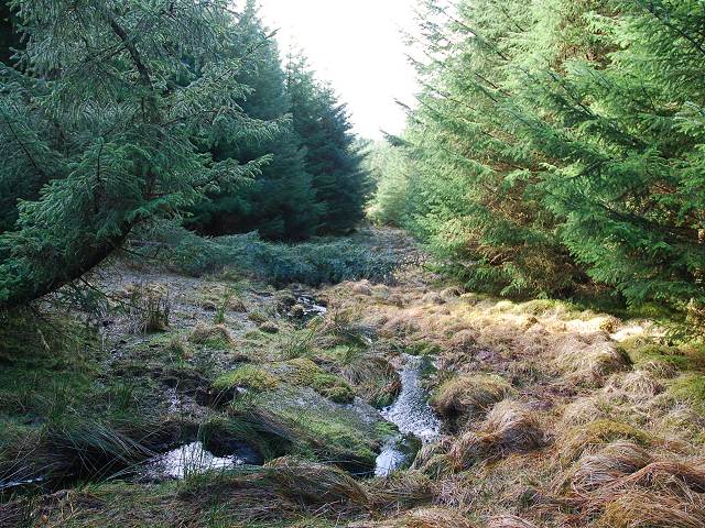
Forest burn
This looked like being one of those squares with no access, so I was delighted to find a ride, unmarked on the map, which led to a deer track through the trees to the burn shown here. A quick check of the compass confirmed my location and out came the camera.
 Map © Crown Copyright")
TIP: Click the map for more Large scale mapping
- Grid Square
- NR8084, 7 images (more nearby 🔍)
- Photographer
- Patrick Mackie (more nearby)
- Date Taken
- Friday, 21 March, 2008 (more nearby)
- Submitted
- Friday, 21 March, 2008
- Subject Location
-
OSGB36:
 NR 800 849 [100m precision]
WGS84: 56:0.3845N 5:31.8213W - Camera Location
-
OSGB36: NR 800 849
- View Direction
- Southwest (about 225 degrees)