2005
SU6254 : Down the A340
taken 18 years ago, near to Sherborne st John, Hampshire, England
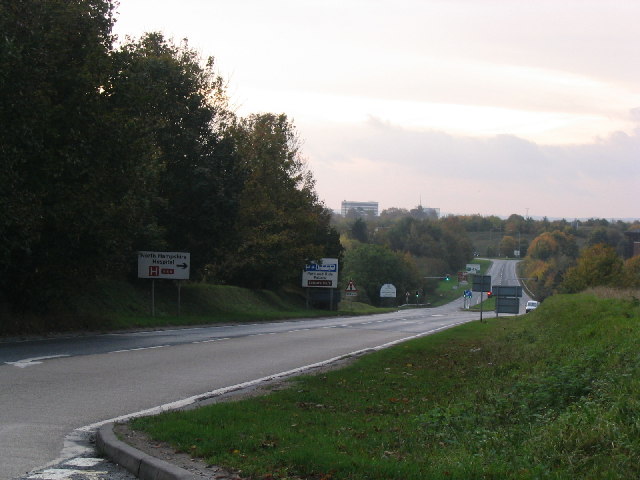
Down the A340
A southerly view down the A340 from near Greatfield Farm. Basingstoke lies ahead.
 Map © Crown Copyright")
TIP: Click the map for more Large scale mapping
- Grid Square
- SU6254, 98 images (more nearby 🔍)
- Photographer
- Simon and Alison Downham (more nearby)
- Date Taken
- Saturday, 29 October, 2005 (more nearby)
- Submitted
- Tuesday, 1 November, 2005
- Subject Location
-
OSGB36:
 SU 623 540 [100m precision]
WGS84: 51:16.9094N 1:6.4105W - Camera Location
-
OSGB36: SU 622 541
- View Direction
- Southeast (about 135 degrees)