2005
TL7068 : Flood Plain
taken 18 years ago, near to Kennett, Cambridgeshire, England
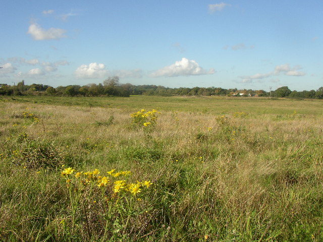
Flood Plain
River Kennett flood plain from the SE corner of the square. Kennett Cottages are visible in the distance
 Map © Crown Copyright")
TIP: Click the map for more Large scale mapping
- Grid Square
- TL7068, 14 images (more nearby 🔍)
- Photographer
- mike (more nearby)
- Date Taken
- Tuesday, 1 November, 2005 (more nearby)
- Submitted
- Tuesday, 1 November, 2005
- Subject Location
-
OSGB36:
 TL 70 68 [1000m precision]
WGS84: 52:17.2910N 0:29.9028E