2008
NN1164 : Sgurr na h-Uilinn
taken 16 years ago, 3 km from Blàr a' Chaorainn, Highland, Scotland
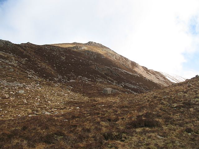
Sgurr na h-Uilinn
Not a peak, but a steep shoulder on the south side of Meall a' Chaorainn.
 Map © Crown Copyright")
TIP: Click the map for more Large scale mapping
- Grid Square
- NN1164, 7 images (more nearby 🔍)
- Photographer
- Richard Webb (more nearby)
- Date Taken
- Sunday, 16 March, 2008 (more nearby)
- Submitted
- Monday, 24 March, 2008
- Subject Location
-
OSGB36:
 NN 113 645 [100m precision]
WGS84: 56:44.0702N 5:5.1685W - Camera Location
-
OSGB36: NN 110 641
- View Direction
- North-northeast (about 22 degrees)