2006
SP5203 : Iffley, where the mill stood
taken 18 years ago, near to Kennington, Oxfordshire, England
Iffley, where the mill stood
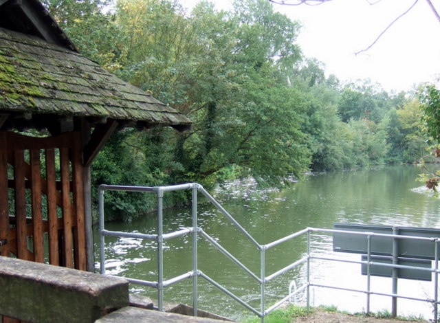
In this view from the edge of the lock island, beside the footbridge to the village, the tree hanging over the water stands close to the site of the medieval water mill that calamitously burnt down in 1908. It was a grist mill meaning its purpose was to grind individual portions, or grists, of grain brought in by customers. Fire often started in mills from the heat generated by the grinding stones.
Across the bridge at the foot of Mill Lane there remains an old millstone and a small plaque recording the mill's situation, alongside Grist Cottage.
This part of the river was known for its eels.
Across the bridge at the foot of Mill Lane there remains an old millstone and a small plaque recording the mill's situation, alongside Grist Cottage.
This part of the river was known for its eels.
 Map © Crown Copyright")
TIP: Click the map for more Large scale mapping
- Grid Square
- SP5203, 342 images (more nearby 🔍)
- Photographer
- Natasha Ceridwen de Chroustchoff (more nearby)
- Date Taken
- Tuesday, 19 September, 2006 (more nearby)
- Submitted
- Wednesday, 26 March, 2008
- Subject Location
-
OSGB36:
 SP 526 036 [100m precision]
WGS84: 51:43.7248N 1:14.3888W - Camera Location
-
OSGB36: SP 525 036
- View Direction
- Southeast (about 135 degrees)