2008
SU7692 : Pasture, Ibstone
taken 16 years ago, near to Turville, Buckinghamshire, England
This is 1 of 4 images, with title Pasture, Ibstone in this square
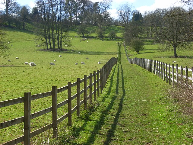
Pasture, Ibstone
Fences leave walkers in little doubt about the line of the bridleway that climbs up to the southern end of the village.
 Map © Crown Copyright")
TIP: Click the map for more Large scale mapping
- Grid Square
- SU7692, 25 images (more nearby 🔍)
- Photographer
- Andrew Smith (more nearby)
- Date Taken
- Thursday, 27 March, 2008 (more nearby)
- Submitted
- Sunday, 30 March, 2008
- Subject Location
-
OSGB36:
 SU 763 924 [100m precision]
WGS84: 51:37.5153N 0:53.9501W - Camera Location
-
OSGB36: SU 766 925
- View Direction
- West-southwest (about 247 degrees)