2005
TQ3217 : The end of Wellhouse Lane, Burgess Hill
taken 18 years ago, near to Burgess Hill, West Sussex, England
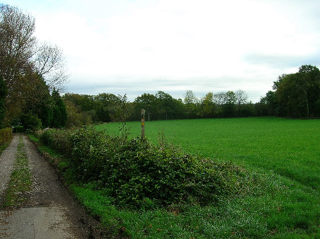
The end of Wellhouse Lane, Burgess Hill
The footpath makes its way east to Ditchling Common. The drive leads to Wellhouse Farm.
 Map © Crown Copyright")
TIP: Click the map for more Large scale mapping
- Grid Square
- TQ3217, 35 images (more nearby 🔍)
- Photographer
- Simon Carey (more nearby)
- Date Taken
- Saturday, 5 November, 2005 (more nearby)
- Submitted
- Saturday, 5 November, 2005
- Subject Location
-
OSGB36:
 TQ 324 173 [100m precision]
WGS84: 50:56.3971N 0:7.0159W - Camera Location
-
OSGB36: TQ 322 173