2005
SX4154 : Ploughed field near Torpoint
taken 18 years ago, near to St John, Cornwall, England
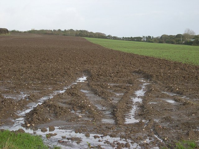
Ploughed field near Torpoint
This field is half ploughed and half sown with new crops. It is also saturated with water as a result of heavy overnight rain. No tractor will venture near this field until it dries out quite a bit.
 Map © Crown Copyright")
TIP: Click the map for more Large scale mapping
- Grid Square
- SX4154, 9 images (more nearby 🔍)
- Photographer
- Tony Atkin (more nearby)
- Date Taken
- Sunday, 6 November, 2005 (more nearby)
- Submitted
- Sunday, 6 November, 2005
- Subject Location
-
OSGB36:
 SX 412 544 [100m precision]
WGS84: 50:22.0811N 4:14.0571W - Camera Location
-
OSGB36: SX 410 544