2005
NT0685 : Crossford Burn
taken 18 years ago, near to Crossford, Fife, Scotland
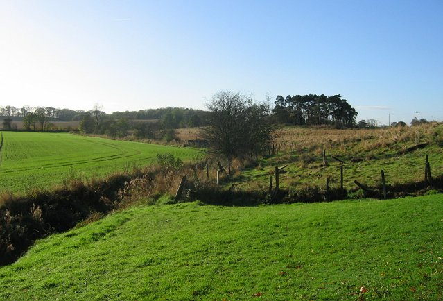
Crossford Burn.
Looking SW along the Crossford Burn in the direction of Pitliver. A mix of arable land and parkland. Taken from the edge of Crossford village.
 Map © Crown Copyright")
TIP: Click the map for more Large scale mapping
- Grid Square
- NT0685, 4 images (more nearby 🔍)
- Photographer
- Richard Webb (more nearby)
- Date Taken
- Wednesday, 9 November, 2005 (more nearby)
- Submitted
- Wednesday, 9 November, 2005
- Subject Location
-
OSGB36:
 NT 068 858 [100m precision]
WGS84: 56:3.3566N 3:29.8875W