2005
NN6440 : Aqueduct and Dam on southern slopes of Ben Lawers
taken 18 years ago, near to Carie, Perth And Kinross, Scotland
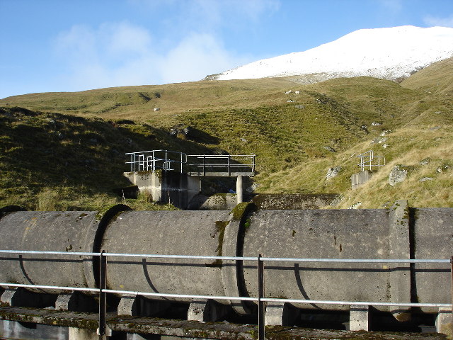
Aqueduct and Dam on southern slopes of Ben Lawers
There are a whole series of small dams along a service road which follows the 2000' contour which feed into this aqueduct taking water to a HEP station on the side of Loch Tay near Killin
 Map © Crown Copyright")
TIP: Click the map for more Large scale mapping
- Grid Square
- NN6440 (more nearby 🔍)
- Photographer
- paul birrell (more nearby)
- Date Taken
- Sunday, 13 November, 2005 (more nearby)
- Submitted
- Sunday, 13 November, 2005
- Subject Location
-
OSGB36:
 NN 648 402 [100m precision]
WGS84: 56:32.0583N 4:11.9976W - Camera Location
-
OSGB36: NN 649 402