2005
SZ6397 : Spitbank Fort in the middle of the Solent
taken 19 years ago, near to Southsea, Portsmouth, England
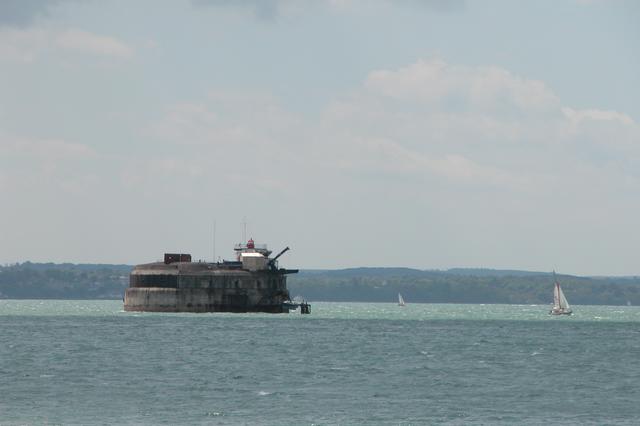
Spitbank Fort in the middle of the Solent
This is one of four forts built in the Solent during the 1860's to 1880's.
 Map © Crown Copyright")
TIP: Click the map for more Large scale mapping
- Grid Square
- SZ6397, 85 images (more nearby 🔍)
- Photographer
- Martyn Pattison (more nearby)
- Date Taken
- Saturday, 7 May, 2005 (more nearby)
- Submitted
- Sunday, 8 May, 2005
- Subject Location
-
OSGB36:
 SZ 636 971 [100m precision]
WGS84: 50:46.2218N 1:5.9332W - View Direction
- SOUTH (about 180 degrees)