2005
SD5523 : Clock House Farm
taken 18 years ago, near to Clayton-le-Woods, Lancashire, England
This is 1 of 2 images, with title Clock House Farm in this square
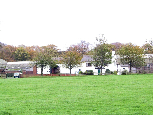
Clock House Farm
Farm on the A49 just south of the point where the M6 crosses it at Cuerden.
 Map © Crown Copyright")
TIP: Click the map for more Large scale mapping
- Grid Square
- SD5523, 29 images (more nearby 🔍)
- Photographer
- Roger May (more nearby)
- Date Taken
- Monday, 14 November, 2005 (more nearby)
- Submitted
- Tuesday, 15 November, 2005
- Subject Location
-
OSGB36:
 SD 559 238 [100m precision]
WGS84: 53:42.5250N 2:40.1749W - Camera Location
-
OSGB36: SD 558 238