2005
ST0791 : Waterfall on the Taff upstream of the disused railway bridge
taken 19 years ago, near to Pontypridd, Rhondda Cynon Taf, Wales
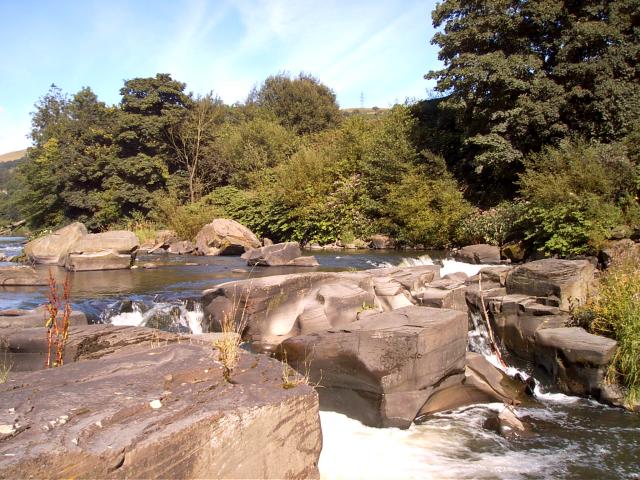
Waterfall on the Taff upstream of the disused railway bridge
View is of a waterfall on the river Taff north of the centre of Pontypridd and is used for paddling and picnicking in the summer.
 Map © Crown Copyright")
TIP: Click the map for more Large scale mapping
- Grid Square
- ST0791, 11 images (more nearby 🔍)
- Photographer
- nantcoly (more nearby)
- Date Taken
- Sunday, 17 July, 2005 (more nearby)
- Submitted
- Tuesday, 15 November, 2005
- Subject Location
-
OSGB36:
 ST 078 911 [100m precision]
WGS84: 51:36.6693N 3:19.9747W - Camera Location
-
OSGB36: ST 078 911