2005
NS5186 : Killearn Cemetery and The Firs
taken 18 years ago, near to Killearn, Stirling, Scotland
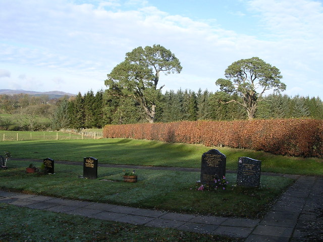
Killearn Cemetery and The Firs
 Map © Crown Copyright")
TIP: Click the map for more Large scale mapping
- Grid Square
- NS5186, 10 images (more nearby 🔍)
- Photographer
- Chris Upson (more nearby)
- Date Taken
- Sunday, 13 November, 2005 (more nearby)
- Submitted
- Tuesday, 15 November, 2005
- Subject Location
-
OSGB36:
 NS 518 865 [100m precision]
WGS84: 56:2.9012N 4:22.8579W