2008
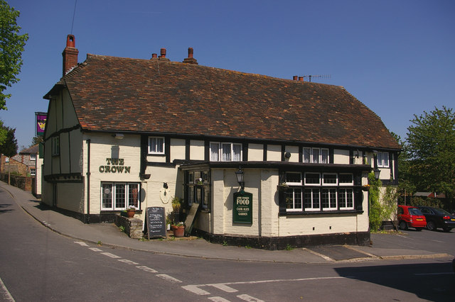
TQ5162 : The Crown
taken 16 years ago, near to Shoreham, Kent, England
 Map © Crown Copyright")
TIP: Click the map for more Large scale mapping
- Grid Square
- TQ5162, 93 images (more nearby 🔍)
- Photographer
- Ian Capper (more nearby)
- Date Taken
- Thursday, 8 May, 2008 (more nearby)
- Submitted
- Sunday, 11 May, 2008
- Subject Location
-
OSGB36:
 TQ 518 620 [100m precision]
WGS84: 51:20.2512N 0:10.7042E - Camera Location
-
OSGB36: TQ 518 620
- View Direction
- Northeast (about 45 degrees)