2005
SY9292 : Gore Heath, Dorset
taken 18 years ago, near to Slepe, Dorset, England
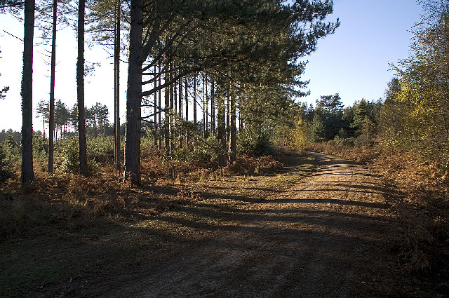
Gore Heath, Dorset
Much of Dorsets heathland has been lost and Gore Heath is now planted with conifers. This is one of the many sandy tracks through the forest and is much used by dog walkers.
 Map © Crown Copyright")
TIP: Click the map for more Large scale mapping
- Grid Square
- SY9292, 10 images (more nearby 🔍)
- Photographer
- John Lamper (more nearby)
- Date Taken
- Thursday, 17 November, 2005 (more nearby)
- Submitted
- Thursday, 17 November, 2005
- Subject Location
-
OSGB36:
 SY 92467 92610 [1m precision]
WGS84: 50:43.9833N 2:6.4863W