2008
NH1479 : Allt Beithe
taken 16 years ago, near to Fain, Highland, Scotland
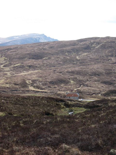
Allt Beithe
 Map © Crown Copyright")
TIP: Click the map for more Large scale mapping
- Grid Square
- NH1479, 3 images (more nearby 🔍)
- Photographer
- Matthew Lee (more nearby)
- Date Taken
- Monday, 5 May, 2008 (more nearby)
- Submitted
- Sunday, 18 May, 2008
- Subject Location
-
OSGB36:
 NH 141 793 [100m precision]
WGS84: 57:45.9163N 5:7.6009W - Camera Location
-
OSGB36: NH 142 794
- View Direction
- West-southwest (about 247 degrees)