2008
SO8580 : River Stour downstream of Caunsall Bridge
taken 16 years ago, near to Caunsall, Worcestershire, England
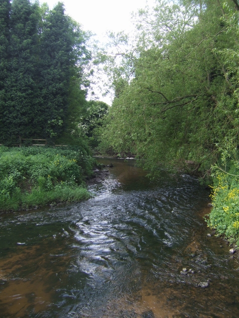
River Stour downstream of Caunsall Bridge
 Map © Crown Copyright")
TIP: Click the map for more Large scale mapping
- Grid Square
- SO8580, 160 images (more nearby 🔍)
- Photographer
- John M (more nearby)
- Date Taken
- Sunday, 18 May, 2008 (more nearby)
- Submitted
- Sunday, 18 May, 2008
- Subject Location
-
OSGB36:
 SO 853 808 [100m precision]
WGS84: 52:25.5261N 2:13.0474W - Camera Location
-
OSGB36: SO 853 808
- View Direction
- South-southwest (about 202 degrees)