2008
NG2547 : Dunvegan campsite
taken 16 years ago, near to Kilmuir, Isle of Skye, Scotland
This is 1 of 5 images, with title Dunvegan campsite in this square
Dunvegan campsite
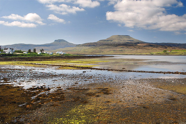
From the small car park across the water at low tide. The hills on the skyline are Healabhal Bheag and Healabhal Mhor, otherwise known as Macleod Tables South and North
 Map © Crown Copyright")
TIP: Click the map for more Large scale mapping
- Grid Square
- NG2547, 196 images (more nearby 🔍)
- Photographer
- Nigel Corby (more nearby)
- Date Taken
- Wednesday, 14 May, 2008 (more nearby)
- Submitted
- Sunday, 18 May, 2008
- Subject Location
-
OSGB36:
 NG 251 471 [100m precision]
WGS84: 57:25.8976N 6:34.8279W - Camera Location
-
OSGB36: NG 254 473
- View Direction
- West-southwest (about 247 degrees)