2008
SE9243 : Rape on the wolds
taken 16 years ago, 4 km E of Goodmanham, East Riding of Yorkshire, England
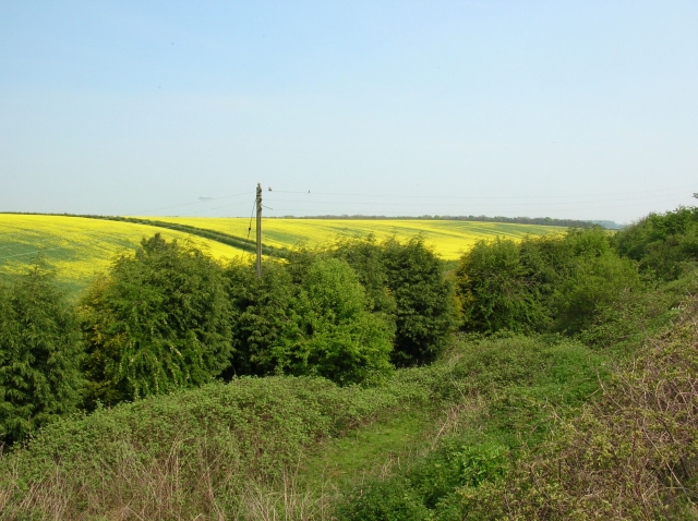
Rape on the wolds
Taken from close to Kiplingcotes station on the former York to Beverley railway, now Sustrans cycle route 66.
 Map © Crown Copyright")
TIP: Click the map for more Large scale mapping
- Grid Square
- SE9243, 76 images (more nearby 🔍)
- Photographer
- DS Pugh (more nearby)
- Date Taken
- Saturday, 10 May, 2008 (more nearby)
- Submitted
- Saturday, 24 May, 2008
- Subject Location
-
OSGB36:
 SE 929 439 [100m precision]
WGS84: 53:52.9999N 0:35.2454W - Camera Location
-
OSGB36: SE 928 439
- View Direction
- East-northeast (about 67 degrees)