2005
SS5343 : Hore Down Gate
taken 18 years ago, near to West Down, Devon, England
This is 1 of 2 images, with title Hore Down Gate in this square
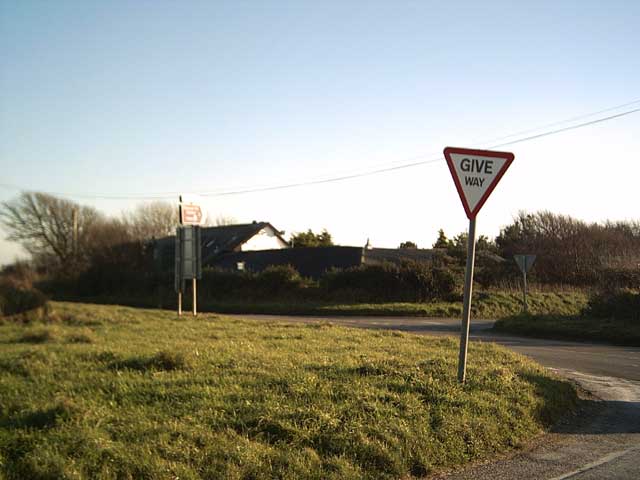
Hore Down Gate
Some crossroads around these parts are called 'gates'. There's Hore Down Gate here, with Hore Down Farm, and Blackmoor Gate further east along the A3123. The A3123 is meant to follow the route of a Bronze Age ridgeway that runs from Morte Point to Somerset over Exmoor.
 Map © Crown Copyright")
TIP: Click the map for more Large scale mapping
- Grid Square
- SS5343, 28 images (more nearby 🔍)
- Photographer
- Grant Sherman (more nearby)
- Date Taken
- Monday, 21 November, 2005 (more nearby)
- Submitted
- Tuesday, 22 November, 2005
- Subject Location
-
OSGB36:
 SS 533 438 [100m precision]
WGS84: 51:10.4740N 4:5.9972W