2008
SK8177 : Wheat and SRC willow, Shortley's Road
taken 16 years ago, near to Rampton, Nottinghamshire, England
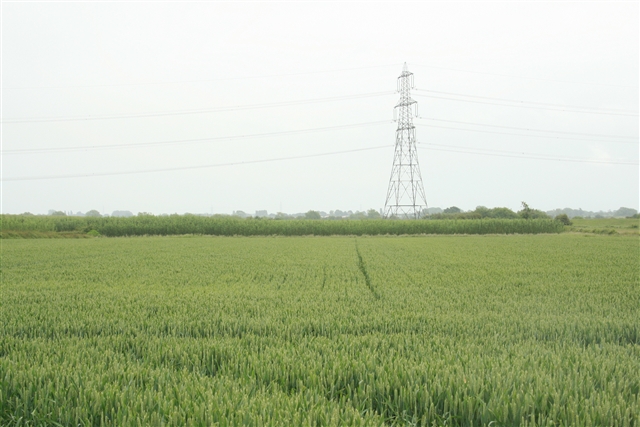
Wheat and SRC willow, Shortley's Road
The height of the SRC can be gauged relative to the cereal crop and the pylon.
 Map © Crown Copyright")
TIP: Click the map for more Large scale mapping
- Grid Square
- SK8177, 74 images (more nearby 🔍)
- Photographer
- Katy Walters (more nearby)
- Date Taken
- Friday, 13 June, 2008 (more nearby)
- Submitted
- Wednesday, 18 June, 2008
- Subject Location
-
OSGB36:
 SK 817 778 [100m precision]
WGS84: 53:17.4903N 0:46.5481W - Camera Location
-
OSGB36: SK 816 778
- View Direction
- EAST (about 90 degrees)