2005
NG9574 : Meall Mheinnidh
taken 19 years ago, 4 km N of Letterewe, Highland, Scotland
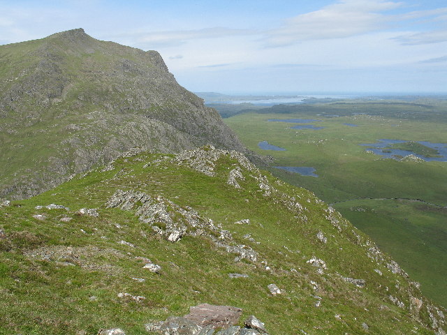
Meall Mheinnidh
Looking NW from the summit of Meall Mheinnidh, the photo shows Beinn Airigh Charr and, to the right, Loch Ewe in the distance.
 Map © Crown Copyright")
TIP: Click the map for more Large scale mapping
- Grid Square
- NG9574, 6 images (more nearby 🔍)
- Photographer
- Tony Kinghorn (more nearby)
- Date Taken
- Saturday, 2 July, 2005 (more nearby)
- Submitted
- Friday, 2 December, 2005
- Subject Location
-
OSGB36:
 NG 953 749 [100m precision]
WGS84: 57:43.0257N 5:26.3084W - Camera Location
-
OSGB36: NG 955 748