2008
SH2482 : Here now endeth the A5
taken 16 years ago, near to Holyhead/Caergybi, Isle of Anglesey/Sir Ynys Mon, Wales
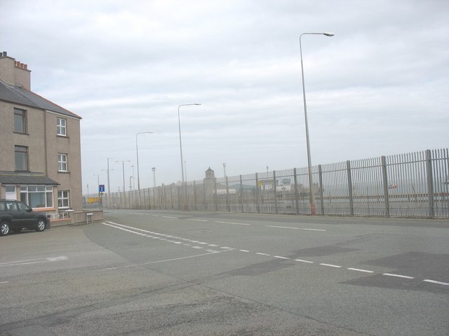
Here now endeth the A5
Today, the No Through Road sign marks the end of the 240 miles journey from Marble Arch, London. Before the new dock redevelopment, the A5 ended at the Admiralty Arch near the Customs House on Salt Island.
 Map © Crown Copyright")
TIP: Click the map for more Large scale mapping
- Grid Square
- SH2482, 578 images (more nearby 🔍)
- Photographer
- Eric Jones (more nearby)
- Date Taken
- Saturday, 28 June, 2008 (more nearby)
- Submitted
- Thursday, 3 July, 2008
- Subject Location
-
OSGB36:
 SH 249 829 [100m precision]
WGS84: 53:18.8408N 4:37.7574W - Camera Location
-
OSGB36: SH 249 829
- View Direction
- South-southeast (about 157 degrees)