2005
NO5012 : Cameron Burn and fields by South Lambieletham
taken 18 years ago, 3 km from Prior Muir, Fife, Scotland
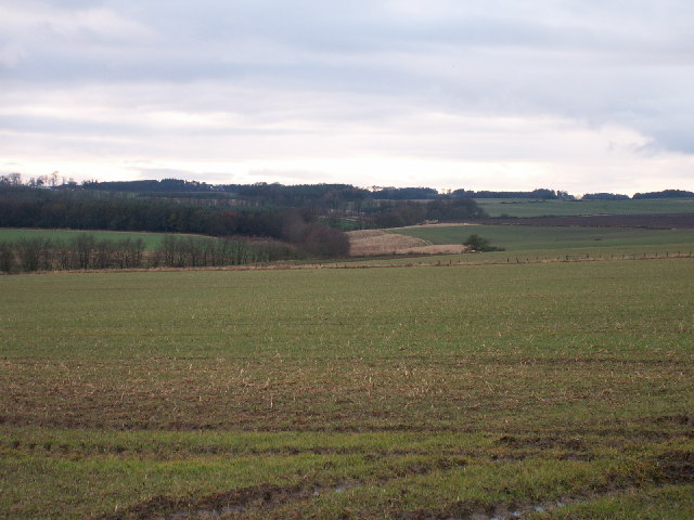
Cameron Burn and fields by South Lambieletham
Looking SW across the square to the course of the Carmeron Burn marked by the line of trees.
 Map © Crown Copyright")
TIP: Click the map for more Large scale mapping
- Grid Square
- NO5012, 10 images (more nearby 🔍)
- Photographer
- Jim Bain (more nearby)
- Date Taken
- Sunday, 4 December, 2005 (more nearby)
- Submitted
- Sunday, 4 December, 2005
- Subject Location
-
OSGB36:
 NO 501 121 [100m precision]
WGS84: 56:17.9216N 2:48.4741W - Camera Location
-
OSGB36: NO 508 125