2004
NG3455 : From Maol na h-Airde
taken 20 years ago, 3 km from Greshornish, Isle of Skye, Scotland
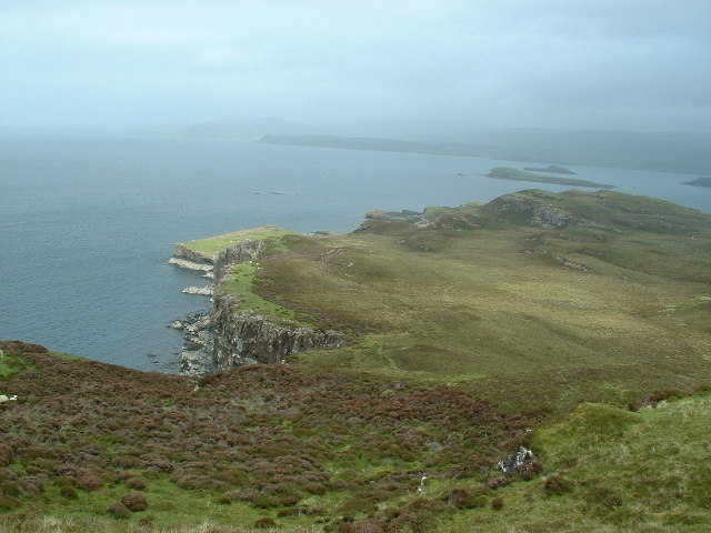
From Maol na h-Airde
Towards Boc a' Chro' Bhric and Greshornish Point.
 Map © Crown Copyright")
TIP: Click the map for more Large scale mapping
- Grid Square
- NG3455, 9 images (more nearby 🔍)
- Photographer
- Nigel Homer (more nearby)
- Date Taken
- Thursday, 3 June, 2004 (more nearby)
- Submitted
- Tuesday, 6 December, 2005
- Subject Location
-
OSGB36:
 NG 343 559 [100m precision]
WGS84: 57:30.9028N 6:26.3202W - Camera Location
-
OSGB36: NG 340 555