2008
SK7455 : Micklebarrow Hill, near Upton
taken 16 years ago, near to Upton, Nottinghamshire, England
This is 1 of 2 images, with title starting with Micklebarrow in this square
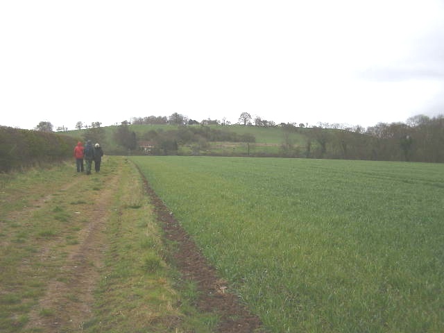
Micklebarrow Hill, near Upton.
"The Trent Valley Way - an 84 mile long-distance footpath - goes over the top of that hill, but we are only doing 7 miles today in this rain"
 Map © Crown Copyright")
TIP: Click the map for more Large scale mapping
- Grid Square
- SK7455, 24 images (more nearby 🔍)
- Photographer
- Brian Green (more nearby)
- Date Taken
- Friday, 11 April, 2008 (more nearby)
- Submitted
- Friday, 18 July, 2008
- Subject Location
-
OSGB36:
 SK 745 554 [100m precision]
WGS84: 53:5.4374N 0:53.3414W - Camera Location
-
OSGB36: SK 741 560
- View Direction
- South-southeast (about 157 degrees)