2008
NY6876 : The valley of the River Irthing (from Shank End)
taken 16 years ago, near to Butterburn, Cumbria, England
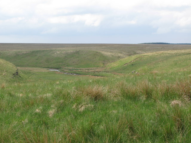
The valley of the River Irthing (from Shank End)
 Map © Crown Copyright")
TIP: Click the map for more Large scale mapping
- Grid Square
- NY6876, 48 images (more nearby 🔍)
- Photographer
- Mike Quinn (more nearby)
- Date Taken
- Wednesday, 4 June, 2008 (more nearby)
- Submitted
- Friday, 18 July, 2008
- Subject Location
-
OSGB36:
 NY 685 764 [100m precision]
WGS84: 55:4.8950N 2:29.6409W - Camera Location
-
OSGB36: NY 687 766
- View Direction
- Southwest (about 225 degrees)