2008
NY6876 : Ruin above Lawrence Burn
taken 16 years ago, 3 km from Butterburn, Cumbria, England
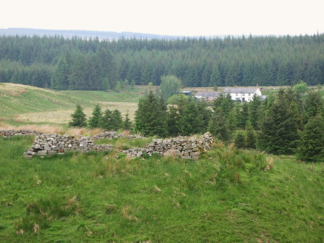
Ruin above Lawrence Burn
Whitehill in the background.
 Map © Crown Copyright")
TIP: Click the map for more Large scale mapping
- Grid Square
- NY6876, 48 images (more nearby 🔍)
- Photographer
- Mike Quinn (more nearby)
- Date Taken
- Wednesday, 4 June, 2008 (more nearby)
- Submitted
- Tuesday, 22 July, 2008
- Subject Location
-
OSGB36:
 NY 684 769 [100m precision]
WGS84: 55:5.1748N 2:29.7854W - Camera Location
-
OSGB36: NY 684 769
- View Direction
- Northwest (about 315 degrees)