2008
ST9988 : Braydon Pond, North Wiltshire
taken 16 years ago, 3 km from Upper Minety, Wiltshire, England
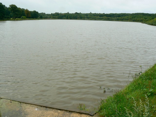
Braydon Pond, North Wiltshire
The pond is located at a point at the centre of the triangle formed by Brinkworth, Charlton and Minety. Until recently the road past the pond was closed to allow engineering work to take place. The outfall from the pond is just visible at the bottom of the image.
 Map © Crown Copyright")
TIP: Click the map for more Large scale mapping
- Grid Square
- ST9988, 6 images (more nearby 🔍)
- Photographer
- Brian Robert Marshall (more nearby)
- Date Taken
- Monday, 4 August, 2008 (more nearby)
- Submitted
- Monday, 4 August, 2008
- Subject Location
-
OSGB36:
 ST 998 881 [100m precision]
WGS84: 51:35.5050N 2:0.2223W - Camera Location
-
OSGB36: ST 999 882
- View Direction
- South-southwest (about 202 degrees)