2008
NN3763 : Allt na Caim and Leum Uilleim
taken 16 years ago, near to Allt na Caim [water Feature], Highland, Great Britain
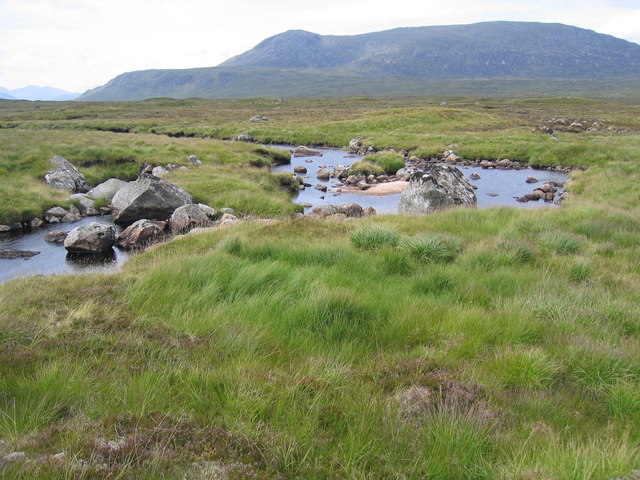
Allt na Caim and Leum Uilleim
The stroll along this burn is a delight (in good weather).
 Map © Crown Copyright")
TIP: Click the map for more Large scale mapping
- Grid Square
- NN3763, 9 images (more nearby 🔍)
- Photographer
- Pip Rolls (more nearby)
- Date Taken
- Thursday, 24 July, 2008 (more nearby)
- Submitted
- Wednesday, 6 August, 2008
- Subject Location
-
OSGB36:
 NN 372 632 [100m precision]
WGS84: 56:43.9297N 4:39.7067W - Camera Location
-
OSGB36: NN 373 632
- View Direction
- WEST (about 270 degrees)