2008
SW3928 : Lane to Crows-an-wra
taken 16 years ago, near to Crows-an-Wra, Cornwall, England
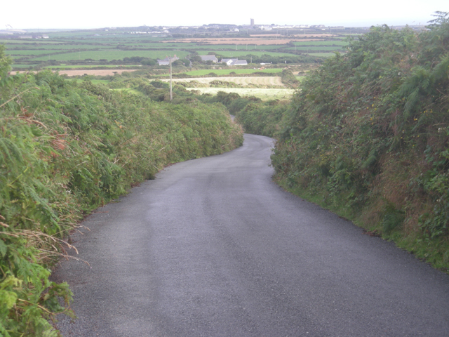
Lane to Crows-an-wra
St Buryan church tower can be seen in the distance.
 Map © Crown Copyright")
TIP: Click the map for more Large scale mapping
- Grid Square
- SW3928, 27 images (more nearby 🔍)
- Photographer
- Row17 (more nearby)
- Date Taken
- Thursday, 31 July, 2008 (more nearby)
- Submitted
- Thursday, 7 August, 2008
- Subject Location
-
OSGB36:
 SW 391 281 [100m precision]
WGS84: 50:5.7451N 5:38.9620W - Camera Location
-
OSGB36: SW 390 282
- View Direction
- South-southeast (about 157 degrees)