2008
Q4803 : The Dingle Way east bound
taken 16 years ago, 4 km WNW of Lispole, Co Kerry, Ireland
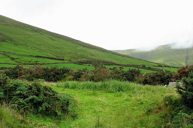
The Dingle Way east bound
A grassy track marks the route of the Dingle Way as it heads eastwards. The hill to the left is Na Cnoc Maol Mor and the one on the right in the distance, with clouds topping it, is Cruach Sceirde.
Loading map... (JavaScript required)
- Grid Square
- Q4803, 3 images (more nearby 🔍)
- Photographer
- Sharon Loxton (more nearby)
- Date Taken
- Wednesday, 6 August, 2008 (more nearby)
- Submitted
- Thursday, 7 August, 2008
- Subject Location
-
Irish:
 Q 483 032 [100m precision]
WGS84: 52:9.6324N 10:13.0287W - Camera Location
-
Irish: Q 482 032
- View Direction
- EAST (about 90 degrees)