2008
SO9399 : The 'Curly Wyrley' approaching Wednesfield
taken 16 years ago, near to Wednesfield, Wolverhampton, England
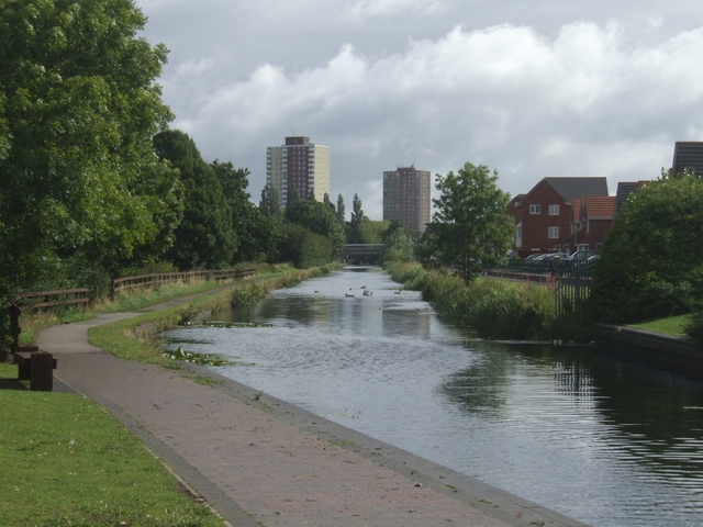
The 'Curly Wyrley' approaching Wednesfield
New housing at Bowman's Harbour on the right and the 1960s tower blocks in Wednesfield.
 Map © Crown Copyright")
TIP: Click the map for more Large scale mapping
- Grid Square
- SO9399, 151 images (more nearby 🔍)
- Photographer
- John M (more nearby)
- Date Taken
- Sunday, 10 August, 2008 (more nearby)
- Submitted
- Sunday, 10 August, 2008
- Subject Location
-
OSGB36:
 SO 935 997 [100m precision]
WGS84: 52:35.7033N 2:5.8080W - Camera Location
-
OSGB36: SO 935 996
- View Direction
- Northeast (about 45 degrees)