2008
ND1142 : Shieling by the Allt Snitut
taken 16 years ago, near to Cnoc Balavreed [hill or Mountain], Highland, Great Britain
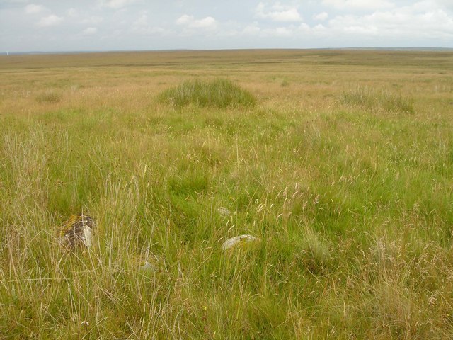
Shieling by the Allt Snitut
The remains of a Shieling Hut overlooking the grassy Strath of the Allt Snitut.
 Map © Crown Copyright")
TIP: Click the map for more Large scale mapping
- Grid Square
- ND1142 (more nearby 🔍)
- Photographer
- david glass (more nearby)
- Date Taken
- Sunday, 10 August, 2008 (more nearby)
- Submitted
- Monday, 11 August, 2008
- Subject Location
-
OSGB36:
 ND 113 429 [100m precision]
WGS84: 58:21.9715N 3:30.9893W - Camera Location
-
OSGB36: ND 113 429
- View Direction
- EAST (about 90 degrees)