2005
SE1422 : Thornhill Road, Rastrick
taken 18 years ago, near to Rastrick, Calderdale, England
This is 1 of 4 images, with title starting with Thornhill Road in this square
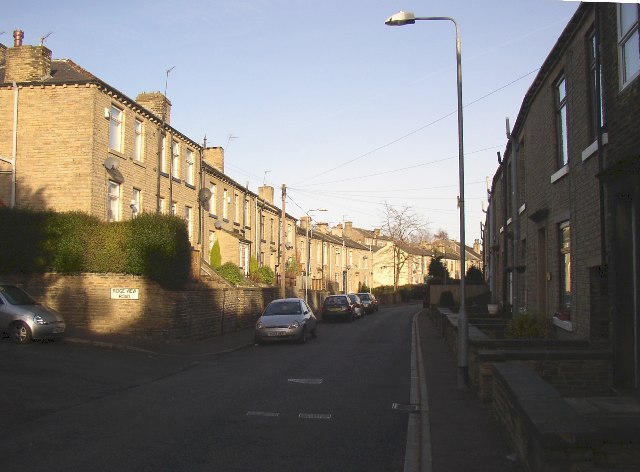
Thornhill Road, Rastrick
This road was made as a private estate road in order to avoid tolls on the turnpike road (Rastrick Common). The latter was adopted by the township in 1862, and Thornhill Road was adopted soon after and houses built on each side.
 Map © Crown Copyright")
TIP: Click the map for more Large scale mapping
- Grid Square
- SE1422, 1144 images (more nearby 🔍)
- Photographer
- Humphrey Bolton (more nearby)
- Date Taken
- Saturday, 17 December, 2005 (more nearby)
- Submitted
- Saturday, 17 December, 2005
- Subject Location
-
OSGB36:
 SE 140 221 [100m precision]
WGS84: 53:41.7095N 1:47.3670W - Camera Location
-
OSGB36: SE 140 221
- View Direction
- NORTH (about 0 degrees)