2005
SK9650 : Top Hat
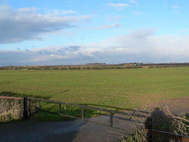
taken 18 years ago, near to Leadenham, Lincolnshire, England
Top Hat
Tranquil farmland near the busy A17(T) - looking NE to the Cocked Hat Plantation Link over three miles distant.
 Map © Crown Copyright")
TIP: Click the map for more Large scale mapping
- Grid Square
- SK9650, 17 images (more nearby 🔍)
- Photographer
- Ian Carrington (more nearby)
- Date Taken
- Monday, 26 December, 2005 (more nearby)
- Submitted
- Monday, 26 December, 2005
- Subject Location
-
OSGB36:
 SK 969 509 [100m precision]
WGS84: 53:2.7957N 0:33.3603W - Camera Location
-
OSGB36: SK 969 509