2008
NR4467 : Daimh sgeir
taken 16 years ago, near to Feolin Ferry, Argyll And Bute, Scotland
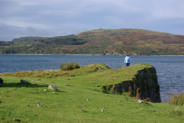
Daimh sgeir
The little headland at Daimh sgeir, The Rock of the Stags Crossing. Nearby there are the remains of 2 cottages that were lived in until the 1930s, but now they are long since gone. Islay is in the background.
 Map © Crown Copyright")
TIP: Click the map for more Large scale mapping
- Grid Square
- NR4467, 20 images (more nearby 🔍)
- Photographer
- Alan Gerrard (more nearby)
- Date Taken
- Wednesday, 10 September, 2008 (more nearby)
- Submitted
- Wednesday, 1 October, 2008
- Subject Location
-
OSGB36:
 NR 442 672 [100m precision]
WGS84: 55:49.8133N 6:5.1600W - Camera Location
-
OSGB36: NR 442 672
- View Direction
- Southwest (about 225 degrees)