Showing most recent first, in descending order
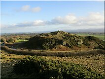
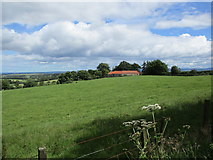
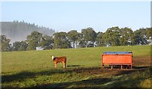
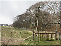
8 images in cluster Bathgate Hills in NS9971
Image clustering - assigning images labels - is an automated process, based on the image title/description. It's not totally accurate, and can sometimes assign images to odd clusters
Explore these images in the Browser or Explore matching images including in surrounding squares (if any!)
Other Automatic clusters in NS9971
- Bathgate Hills
- Cairnpapple Hill
- Summit of the Knock
- Stone Circle
- Limestone Quarries
- Buildings
- Knock Farm
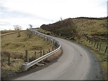
- Road
- Indicator
- South Mine Quarry
- Shelter Belts
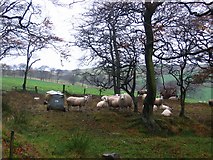
- Sheep
- Gas Pipeline
- Old Quarry Workings
- Quarter
- Marks the site of a Shaft
- Lime Kiln
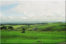
- Landscape
- Farmland
- Concentric Circles
- Area